
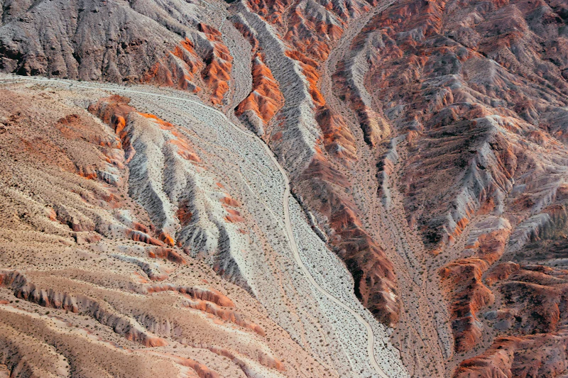
Understand your ground
Everything you already have, brought into one validated, georeferenced picture of your project and its district.
Geological data analysis for early-stage mineral projects
Tailored to your needs, to guide your decisions.
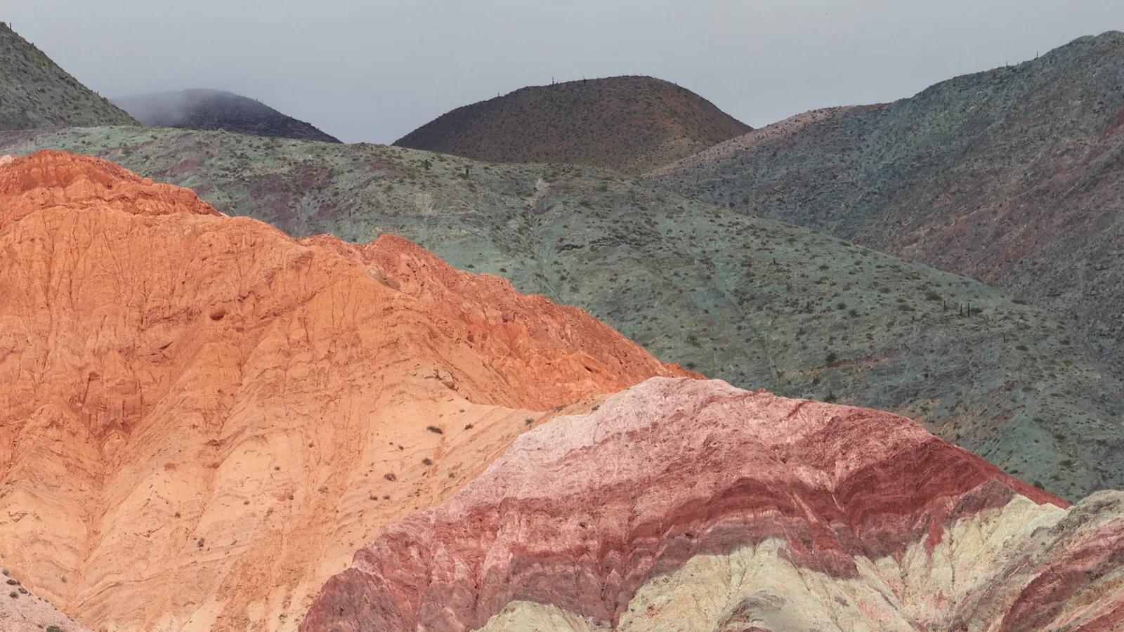
Intro
Three steps take a project from scattered files and public records to new information about the ground, and to the decision it supports.
Drillholes, structural measurements, geophysics, geochemistry, mapping and topography: what you hold, plus what we find in public sources, checked and merged into one georeferenced database.
We analyse the combined data to produce information that none of the sources holds alone: anomalies measured against the local geology, estimates with a stated margin of error, 3D models and ranked targets.
The result answers the question you came with: which ground to stake, whether old assays can be trusted, where to sample or drill, what a zone could hold. It comes as interactive maps and models that you own and can put in front of anyone.
Scoped to your question, your budget and what the data can honestly support.
Services
Three stages, nine services. Take one or all of them: each is scoped to your question, your data and your budget.
Everything you already have, brought into one validated, georeferenced picture of your project and its district.
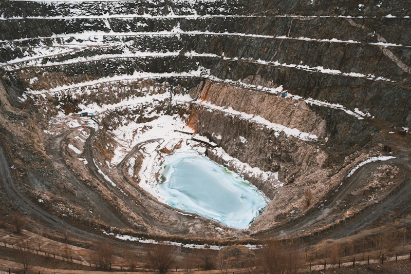
Targets ranked against your budget, with the evidence behind each one and a programme staged around your funding.
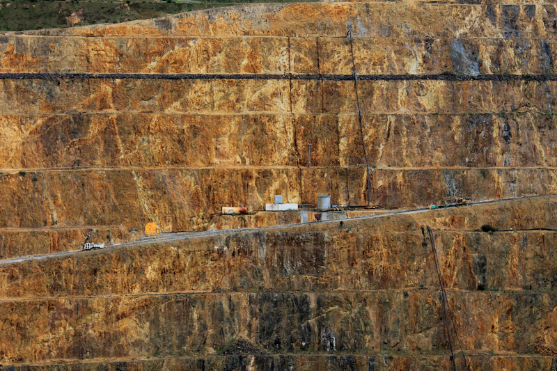
What the ground could hold, stated as ranges your data can support and presented so every audience can open it.
Stories
Real engagements, anonymised. Each one shows the data, the work and the result.
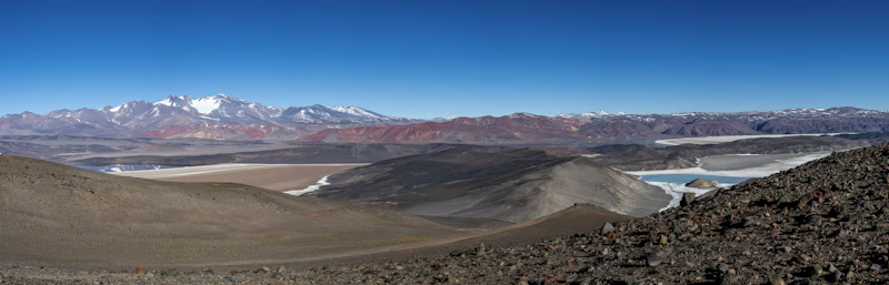
Gold project · Argentine Puna
Public geophysics, geology, stream-sediment geochemistry and neighbouring titles within 20 km of a project, combined into one browser map and used to place the next sampling points.
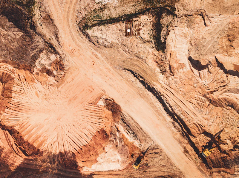
Regional geochemistry · Argentine Puna
Two public sources covered the ground: about 3,500 fifty-year-old readings in coarse steps, and precise modern re-analyses of a third of them. We calibrated one against the other, batch by batch, and mapped copper around the project with a margin of error that held when tested.
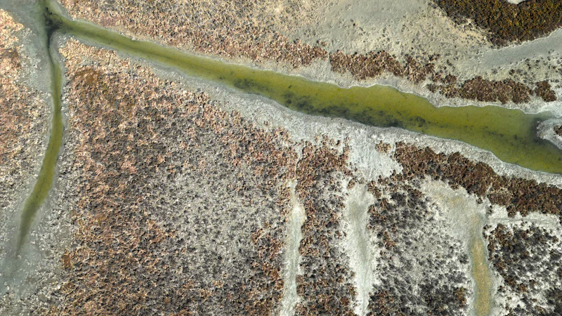
Field planning · Argentine Puna
A field crew was about to sample water and salt crusts on ground where no water analysis had ever been published. We used seven years of open satellite images and two elevation models to find where water reaches the surface, where it goes, and whether the planned sites would catch it.
Guides
Plain explanations of the methods and terms behind our work: what they can support, and where they stop.
The rusty cap left when sulphide minerals weather at surface: how it forms, how to read it, and why not every gossan sits above ore.
How geology, geochemistry and geophysics are combined into a ranking of ground, which methods suit sparse data, and what the map cannot tell you.
Old assays are cheap and plentiful, but methods and locations differ from modern data. How to test whether they can be used, and when to leave them out.
Both are expressed in tonnes and grade. One is a conceptual range, the other a classified estimate. What separates them under JORC and NI 43-101.
Geological surveys and mining cadastres publish maps, geochemistry, geophysics and tenure at no cost. What exists, and how to use it with care.
Too few holes for a resource estimate, enough for a useful model. What sparse drilling can and cannot support in three dimensions.
Tell us what you're working on and what you need to decide, and we'll prepare a proposal scoped to your question within 48 hours.
No commitment · Reply within 48 hours · Your data stays confidential
or
Use the contact form