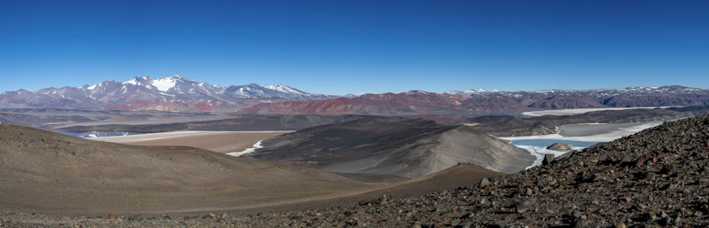
Gold project · Argentine Puna
Public geophysics, geology, stream-sediment geochemistry and neighbouring titles within 20 km of a project, combined into one browser map and used to place the next sampling points.
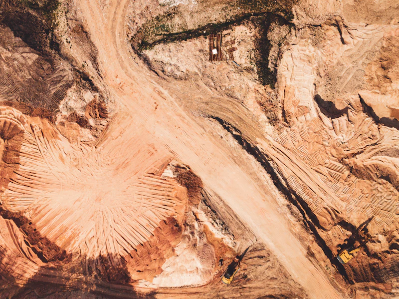
Regional geochemistry · Argentine Puna
Two public sources covered the ground: about 3,500 fifty-year-old readings in coarse steps, and precise modern re-analyses of a third of them. We calibrated one against the other, batch by batch, and mapped copper around the project with a margin of error that held when tested.
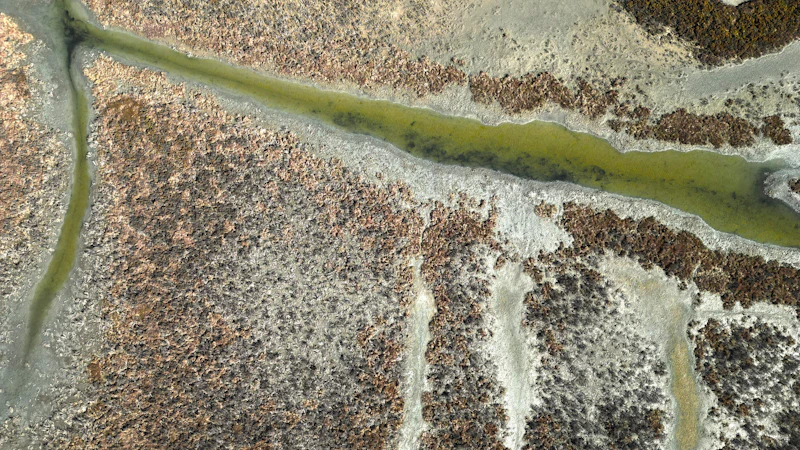
Field planning · Argentine Puna
A field crew was about to sample water and salt crusts on ground where no water analysis had ever been published. We used seven years of open satellite images and two elevation models to find where water reaches the surface, where it goes, and whether the planned sites would catch it.